Showing posts with label geology. Show all posts

Wednesday, May 3, 2017

Ireland day 2: Northern Ireland's Giant Fun.

I wrote this post on the plane coming back from Ireland last month to replace the quicky post I put up while there.  But what the heck, I'll leave that one up too.  This post goes into the details of the places we saw on Day 2. I have updated the publish date to be the date we did all this.

Our hotel in Drogheda offered a big delicious “full Irish” breakfast, which I gather means with meat and eggs. Of course I had to try the mysterious sounding black pudding, which was very flavorful, especially before I found out it was made with cow blood. I skipped the white pudding, made with intestines.

DRIVING FAST PAST BELFAST

Our plan for the day was to drive the big freeway, or motorway as they call them here, to Belfast, have lunch, then explore the northern side of Northern Ireland's coast, and finally beeline for our first bed and breakfast SW of Derry. An ambitious day. Luckily, I was feeling no jet lag, so behind the wheel I climbed, on the right hand side of the manual transmission car!
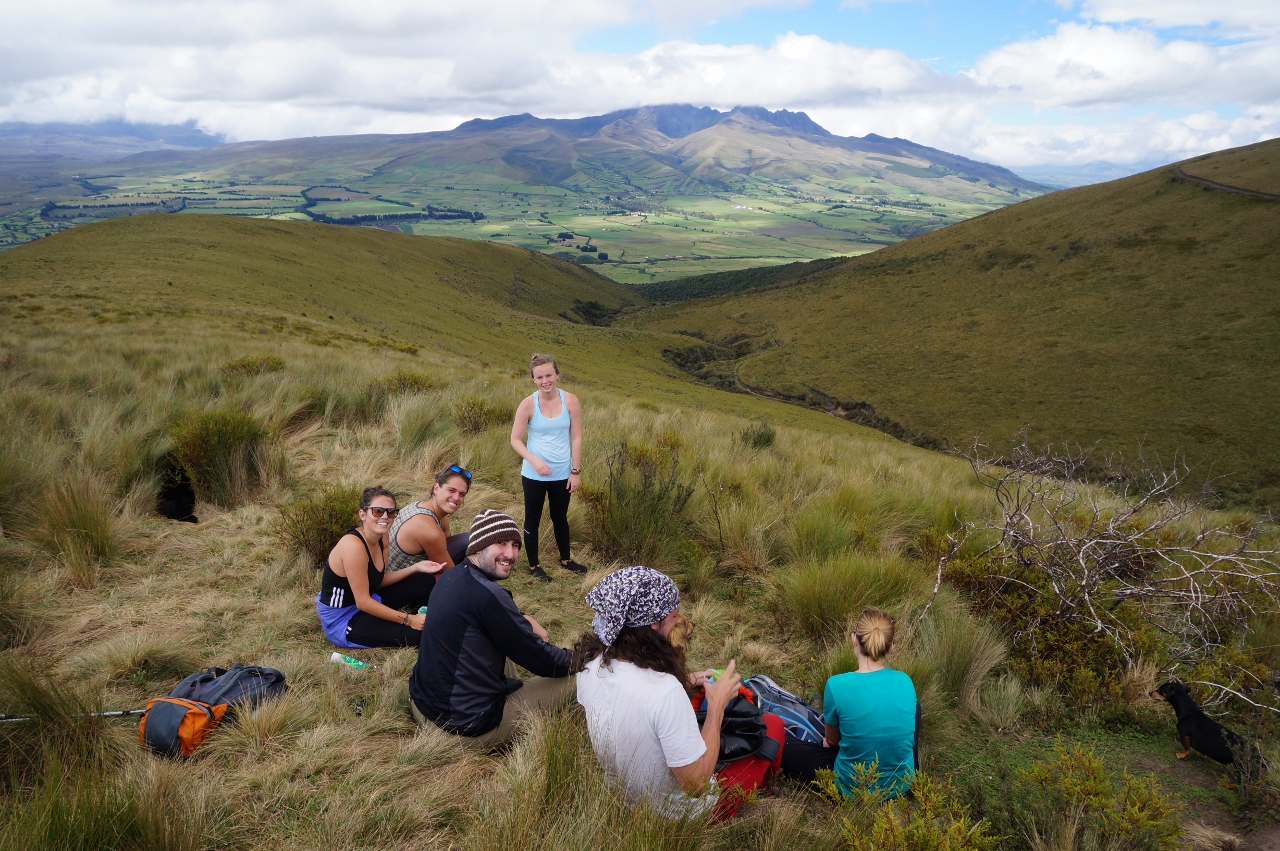
Team driving.

Belfast was too soon for our full bellies, so we blasted on through. My only impression of Belfast is: only 3 exits? I thought it would be much bigger. I wish we could have stopped for a coffee or something, but adventure was calling so we motored on.

We lunched in Bally-blah-blah.  Every other town (or as they say here, every second one) is named Bally-something-or-other, which is the English translation “village of…” from Gaelic.  

Carrick-a-rede

Someone had said the Carrick-a-rede swinging rope bridge was cool, so that's where we headed. They were right!
A 1 km hike on a nice path along the gorgeous sea cliffs


with views to Rathlin Island and all the way clear to Scotland (the land to the right of island with dark top and white cliffs at the water line in the picture above) because we are visiting in the new global-warming-induced dry season,
  leads to a gated bridge with attendants on each side. (I imagine this is the place delinquent high school kids try to sneak out to after hours.)
The bridge walk, contrary to what the guidebook says, is not very scary; I've been on way worse. But it is wonderfully high and has smashing waves and darting sea birds below.

not my picture

not my picture but gives you an idea of the height

The reason for the installation of the bridge in the first place is not, as it seems today, to extract dollars from tourists, but rather for fishermen to access the salmon fishing grounds from this little island.
In addition to fishing in the immediate vicinity of the little island, historically, black diabase (they call it dolerite) was mined just above the entrance to the car park and shipped from this point to Scotland and the rest of northern Europe.  Diabase is a volcanic rock, part of the roots of the volcano whose flows created the resistant  rock that forms the little island. According to the knowledgeable and good humored attendant to the car park, this stone was extremely popular as cobblestones and building stones in northern Europe during the Victorian age.
 The attendant gave us more geologically important information: the remains of the concrete and stone buildings on the coast below us were part of a cement manufacturing operation.  The limestone for the cement came from continental crust, not the much younger volcanic rock.
That was a very worthwhile stop!

GIANTS CAUSEWAY

A few 10s of km down the road was the day's main attraction: Giant's Causeway.


So yeah, we have friends to visit in this country, and yeah, the country is beautiful, and yeah, it's where some of my ancestors were born, but I will admit, Giants Causeway  was a significant reason I wanted to visit Ireland.  I mean, columnar jointing as the main attraction for a national park? That means they’ve got their priorities straight, and also just screams “Lucy must see!!”
I was not disappointed, and I'll go out on a ledge (pun!) here and say my travel companions were not either. The Giants Causeway is truly spectacular, especially on a glorious sunny day.


Columnar jointing forms in basalt lava flows as they cool and contract.


The North Channel between Ireland and Scotland has eroded the thick basalt flows and left a peninsula of spectacular columns to play on.There is a matching exposure of columnar jointing in Scotland called Fingals Cave. (next trip?)


Drew and I did the a little longer hike out to where the trail was closed due to landslide activity while Jim and Shelly headed onward to check into our B&B.


I loved this part of the hike almost as much as the causeway. Cool giant basalt columns, hydrothermal alteration patterns, chilled flow margins, and more spectacular coastline.


I should mention the forklore behind the name Giants Causeway. Something about a giant on a causeway. I guess I'm more into the science.

I lingered on the columns as long as I could before we hit the road past very stinky field applications of manure to the B&B. 

After checking in, we met Jim and Shelly at The Fishermans Inn, the one and only local pub in Carrigans, for the best fish and chips I've ever had, no joke! Jim liked the mushy peas, too.


The fish was mild and the batter was salty and flavorful. A Smithwicks or two to round out the meal put the end to busy and beautiful day.


Sunday, April 23, 2017

Baños Day 2: Big Waterfall

Hey, I figured out how to type ñ! Call me gadget girl.

For our big tourist day in Baños, we chose to rent horrible mountain bikes and ride the waterfall route.  Lots of people do this. So many that the country should make a proper bike path along side the road so somebody doesn't get run over by giant trucks using this same route to move goods between the Amazon Basin and the western part of the country. But that's just my rich American infrastructure habits talking. It was fine; we didn't get run over.

Essentially, the Rio Pastaza flows through a deep canyon of volcanic rocks, most from Tunguragua, the volcano behind town, to the Amazon Basin. Along the way it flows over various more resistant lava flows to create spectacular waterfalls. The Ecuadorians have capitalized on the falls with a variety of tourist attractions.


Twin waterfalls of the Rio Pastaza. The green scaffold is one end of a zip line.

The rental bikes.

You can see the waterfall eroding the base of the fall back under the resistant layer.
 About 4 or 5 of these waterfalls viewed from the road, we made it to the big tourist attraction, Cascada de Paílón del Diablo, or Waterfall of Devil's Cauldron. 

After checking out the other falls on the route, I was a little bit skeptical that this one would live up to all the hype I had read on Trip Advisor.  I needn't have worried. It was AMAZING.

We locked up the bikes at the entrance station on a rack with about 100 other rental bikes, paid our entrance fee, and headed down. Of course there was a myriad of booths and shops selling tourist trinkets and ice cream near the top.  There were also a lot of other people hiking to the falls, mostly Latino family groups.  The path was really steep and very wet and slippery in some places, but very young children and grandparents equally were navigating the trail.  This in not something you would see in America!  

After about 20 minutes of walking, we reached the most elaborate and rock steep viewing platform imaginable.
The viewing platform. I kept wondering how many workers plunged to their deaths making this incredible construct of stone and mortar.
 

Part of the waterfall.  It was loud and very misty on the platform.


When amazing waterfalls are part of your country's geography, tall, white Americans become the tourist attraction!  The adults were getting their picture taken with Drew before I snapped this picture. 


Carved into the cliff is a passageway to the waterfall that small people can negotiate without much difficulty. Large Americans have more trouble.


But it's so worth it!  What a funky trip.  It smelled like pee in one spot (GROSS!) but totally understandable as there are no facilities anywhere and there is a giant waterfall next to you.

A small passageway for a 6'3" guy!

Holy columnar jointing!
After the wet and misty viewing platform and the slippery low crawl to the passage behind the waterfall, we took the drier view across a swinging bridge.

I love this picture because not only can you see the size and power of the waterfall, but the truely spectacular columnar jointing in the lava flows above.
 Damp and thrilled we decided to save our lungs from inhaling diesel fumes and pay a few bucks for a ride in a big truck back up the road to Baños.


All that scrambling made us hungry.  We went to the #4 rated restaurant in Baños on the east side of town called Cafe Hood. It was one of the best meals we had of the trip.  Super vegetarian options and good coffee.


I don't remember the dish I had, but it was super fresh and delicious


We checked out where the hot springs are so we could return later after returning the bikes.
Then explored town a little bit.
Not really a doughnut.


We didn't take a camera in to the hot springs because there was really not a place to lock things up well. It cost more than I thought necessary given that the place is run down and pretty industrial, but we had to try it.  The best pool had just been drained for cleaning, so we were forced into either a sort of warm pool packed nearly shoulder to shoulder or a scalding hot pool with about three people in it and 50 people around it.  We did both. At the later, I worked up to having ONE FOOT in the water; meanwhile, Drew went all the way up to his shoulders. He was a lobster when he came out!!  I don't know how he could stand it.

We splurged a little for our last official dinner of the trip on a patio of a good restaurant.


All in all, Baños and it's big waterfalls made for an splendid last fun day of vacation. The next day would be making our way back to Quito to fly out the following day.

Tuesday, April 19, 2016

Cotopaxi Hike to Pasochoa


Before our Ecuador trip is a distant memory, I AM going to get the posts that were ready to go posted.

On our first full day around Cotopaxi we were signed up to do the big hike to the summit of Pasochoa Mountain behind the hostel. The hike would be a steep one, gaining 2362 feet in 3.5 miles. I was nervous. In the night, I had convinced myself that I should not do the hike because A. I didn't want to be the slow old person trying to keep up with the 20-somethings, and B. I didn't want to re-injure my knee just nine weeks after surgery. This would be the first big test and I wasn't sure if I could or should do it.   But at breakfast, Drew convinced me that I should try and we could always turn back if the knee was not up to it. So up we went. The first part of the hike was on a steep path through scrubby forest, and I was too intent on keeping up to take many pictures.   But it wasn't long before I was confident I could hold my own with the group on the way up.  The knee felt good, and living at moderate altitude even gave us some advantage over the younger lungs in our group.  

Looking back the way we had come about half way through the hike.

Looking up the way we were headed. Our route would take us up the ridge on the right to the summit and around to the left and back down following the track on the left.

Our band of hikers.

Accompanying us on our hike were the pack of resident dogs from the hostel, including two Dachshunds.

With the summit nearly in sight, we continued up.

Gaining some serious altitude.

Almost there!
 
And we made it! About 3 hours of hiking got us to the crater of Pasochoa, 13,842 feet above sea level. No worries, this volcano is inactive.

The clouds swirled in the crater, making it unnerving to stand too close to the edge.

Our entire group after a lunch of sandwiches, cake, and hot tea delivered to the top by our guide. Thanks, Victor.


All five dogs made it to the top, as they do every day with a new group of hikers. My 33-inch inseam is apparently no advantage over the short little legs of the Dachshunds.

Since we had driven in the dark for two hours in a taxi to get to Secret Garden, I had no idea we would be close enough to Quito to see parts of it and even pick up some cell service.

What else would you expect at the top of a volcano but a mess of fused volcanic ash and clasts.  
Magma often squirts itself into solid rock along fractures and usually weathers differently than the surrounding rock, as shown by this dike.

Time to head down. The trail is actually so steep that the other hikers are hidden in front of us.

A brief stop in a spring area colonized by a strange type of wetland ground cover.


The plant is tough and feels like plastic.

What would cause this unusual alignment of scarps on the otherwise uniform slope? My guess is a dike in the subsurface allowing preferential movement of groundwater and/or erosion.


I was definitely the slowest hiker on the downhill, but not so terribly slow that the group had to wait a long time for me. What a relief. On the way down, I made sure to snap a few pictures.


This irrigation canal may have been built by the Incas, according to our guide.

Here is the lower forested part of the trail. Definitely not IMBA standard.


After 5.5 hours of pretty difficult hiking for two people who don't hike so often, we were happy to complete the journey and I was literally shouting for joy that my knee held up.          


Time for some post-hike hammock time to let the blood run out of our tired legs and share a recovery drink.


We stayed in that position for quite some time, then moved to the hot tub, and recovered just enough to eat a tasty dinner of quinoa stuffed roasted pepper and socialize a bit before retiring to our casita. We both agreed that this day was the highlight of the trip so far.