Sunday, July 29, 2012

Day 3 "Cascade Huts" Hut to Hut MTB around Mt Hood: Misty Mysterious

Fried Spam and pancakes is how we started out Day 3 of our hut-to-hut ride around Mt. Hood.  These were not just ordinary pancakes though; on this day we had Jim's special peach pancakes (really just plain dried pancake mix and water but with canned peaches and peach juice slurried into the mix).  Yum.  The coffee today was much more civilized as well.  This hut had a full sized percolator with all the parts and one of those cone filter holders that you use to poor boiling water over grounds and drip into a cup.  It was a regular coffee drive through compared to our snail's pace coffee of the previous day.

Coffee is important, especially when the day promised 43 miles, two mountain passes (5000 feet of climbing) and lots of single track.

We hit the trail at 9:30 but soon stopped to cheer that the huge tree that had fallen on the road had been cleared for us. 


We biked on the historic Barlow Road, which was built in 1846 to serve as the last overland segment of the Oregon Trail.  Its construction allowed covered wagons to cross the Cascade Range.  Wikipedia says that it was by far the most harrowing 100 miles of the nearly 2,000-mile Oregon Trail.


Thinking about those pioneers, I wonder about my lifestyle.  Here I am riding a bike for "fun" to "test my endurance" on the same road that 150 years ago pioneers risked nearly everything to traverse.  What would a pioneer woman think if she could see me biking along as she nervously watched her children walk behind the wagon and fretted about how thin the soles of their shoes were getting?  Odd? A useless waste of energy? Stupid girl?

People died making the journey West, and here was proof
 
 Pioneer Woman's Grave

The Pioneer Woman's Grave is a monument to the grave of a pioneer woman that was uncovered in 1924 by a highway survey crew.

My somber thoughts were amplified by the fog and mist that enveloped us.  What could bring me out of my melancholy? A four-lane highway to navigate!


To be honest, we were only on Hwy 35 and then Hwy 26 for less than a mile, but it was quite the rude awakening after two days of bike pioneering.

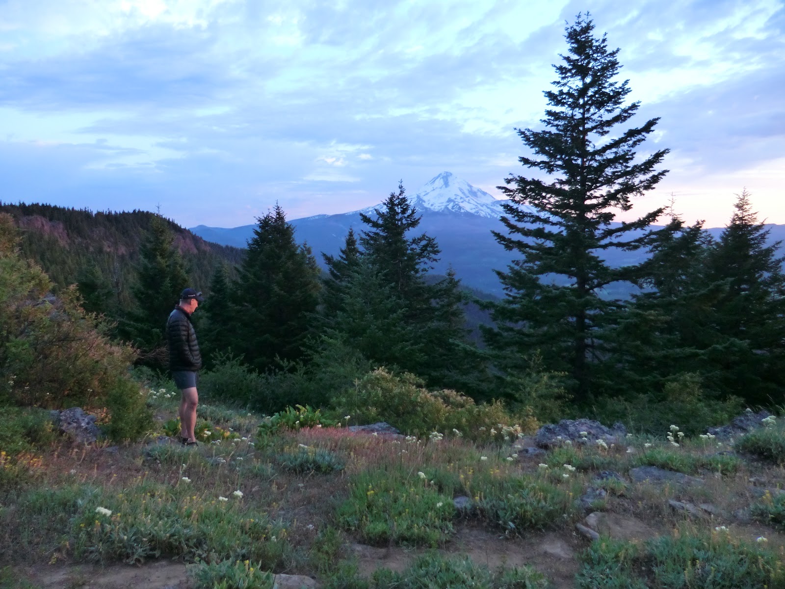
The clouds were thick and Drew and I were beginning to worry about rain.  We had not seen a weather forecast for days, but by the look of the sky, we were in good shape to get wet, and we had 30 miles to go.

Still, we couldn't miss what the directions said was a beautiful lake.  I think we were all underwhelmed by Trillium Lake.

Our Trillium Lake

But that is because we didn't realize it could have been spectacular.  Here is a photo from Wikipedia taken from the same spot as above.

File:Trilliumlake.jpg
 The possible Trillium Lake

Guess this is one of those times when you didn't "just have to be there".

The next stop was civilization, i.e. the town of Government Camp.  With my excellent navigational skills ;-) yet horrible navigating device (Garmin 500 bike/race GPS) I missed a turn and almost sent us around the town on boring dirt road.  I caught my mistake before too much damage was done though and soon we were in a convenience store snarfing corn dogs, hot dogs, potato chips, donuts, and hot coffee.  It started to drizzle just as we got to the store, which I just took as an excuse to eat that second corn dog. 

It was 1 o'clock and we had 26 miles to go. Time to descend on the uber fabulous Crosstown Trail.


The pictures don't show you how fast and flowy and majorly green the trail was.  Even on the forest floor in the seemingly dark shade were ferns and plants unknown to this desert dweller.  The trail was pretty narrow and fast enough to need some slightly banked turns.  The route had a few tiny climbs but the Crosstown mostly consisted of just ripping through the misty forest with my friends - special times they were!

The Crosstown trail gave way to a tunnel


and the famed Pioneer Bridle Trail.  We all agreed that the Crosstown Trail was actually more fun to ride than the PBT, but for sheer otherworldly environment that made you feel as if Sasquatch was going to come hammering up the trail on a singlespeed bike at any minute, PBT took the prize. 

Part of the Pioneer Bridle Trail that Drew termed Chlorophyll Alley

To the town of Zig Zag and a quick shot of jet fuel (mocha lattes) to put some energy in the tank for the 2000 feet of climbing ahead.
 

A tiny bit more trail and then it was all this.


For 8.5 miles we climbed a paved road that started out as a two-lane road having cute and interesting houses to look at, to a less than one-lane road that was lined for miles and miles with foxglove. 


I love foxglove, but have had no luck growing them here in the desert.  I guess roadside "weeds" in the wet of Oregon can't be expected to thrive in Utah.

After 42 miles and 9.5 hours out in the mist and clouds, we reached "the gate". Each hut had a locked gate very near it, which told us we were close.


 Only another half mile to Lolo Pass Hut!


The clouds prevented us from  seeing Mount Hood, which we knew was close, but even so, they made for a peaceful, cozy feeling.

Cozy that is until you came into a hut full of stinky bike gear hanging from the rafters.


But look at the size of that cooler!  Good microbrews in there too!

Shelly once again proved she can put in the miles and still cook up a mean bowl of pasta.


A board game of "Battle of the Sexes" did nothing to come between me and my honey after a loooong day on the bikes. 

3 days down, 1 to go.

Tuesday, July 24, 2012

Day 2: Cascade Huts hut-to-hut mtb. Single track and a lot 'o miles.

July 17, 2012. Day 2 of our Cascade Huts trip started out well.  We had all slept reasonably well given the strange environment and relatively hard beds.  We started coffee brewing in the little percolator.  To those of us used to loading up our automatic drip 12-cup coffee makers each night and pushing the little "delay brew" button so we can wake to the smell of fresh coffee, this process took an excruciatingly long time.  While we were waiting, Drew proceeded to fry up some Spam. Yes, that's right, Spam, as in pig parts ground up in a can. Trav and Meg claim to be foodies, and to be sure, when we've been to their house for supper, we have been treated to gourmet dinners, but believe you me, they were first in line to lap up the salty goodness of a crispy-fried slice o' Spam.  I had to admit, the pink stuff was kind of yummy the way my man fried up the perfectly rectangular portions. Poor Shelly, who agreed with me that Spam is just about the lowest food on the food totem pole, must have been in such a severe caloric deficit from her sour stomach the previous night that she even ate a small piece.  We complemented the breakfast of champions with Jim's silver dollar pancakes dipped in a bowl of syrup so that we only made a few dishes.  High-toned meals here on the Cascade Hut trip!

We packed up and set out at about 10:00 AM.  Not the earliest start for a day promising singletrack plus 4400 feet of vertical climbing over a distance of 36 miles. 


The fun began only a quarter mile from the hut on the Surveyors Ridge trail, riding the opposite direction from the loop we did the night prior.
Surveyors Ridge trail


Video: starting out on Surveyors Ridge Trail.  

Surveyors Ridge was AWESOME.  Buff, pristine, uncrowded, and mostly level or slightly downhill. We encountered only a few technical sections that we had to walk due our racks and packs.


There were spectacular views of Mount Hood all the way along this ~5 mile love trail.


Here is a little more video to give you an idea of forested part of the trail.  I could have been going about twice as fast and still loved it.


One amazing thing we began to encounter was an absolute explosion of wildflowers.  Almost everywhere I looked I could see some plant showing off. 

Wildflowers.

Gotta stop and smell, er, photograph, the wildflowers.

More Surveyors Ridge trail.

But alas, all fun trails must come to an end, and now we had to pay our dues.  We turned onto this:

  Road 4410 climb

Road 4410 climb: Five miles. 1700 feet of climbing. Very long.  Quite hot.  Got hungry. Ready to be at the hut, but only 15 miles into the day! 

We finally reached the top, which was also the highest elevation of the trip at 6000 feet above sea level. 


We had pb&j for lunch.  Dang that tasted good.

And then we started the first of several long, fast road descents.


The descents were interspersed with road climbs through some beetle-damaged? and fire-scarred areas.

But the bear grass seemed to be doing well.  I don't see much bear grass along the trails in Utah. My first memory of bear grass was on my first ever real mountain bike ride in Montana, so I have a soft spot for their fluffy plumes.

Bear grass.

This was the point where we may have been able to ride Gunsight Ridge singletrack, but due to snow, the Cascade Huts guys told us the trail was impassable.

Snow patches were hanging on in spots but didn't give us much trouble.
 
With our heads down, we hadn't realized how far we had come until we could see dry and high desert far to the east from this viewpoint.

It was about here that we all started to get tired, really tired.  My legs were tired from the climb, my back was aching, and worst of all, I felt like my saddle had its own heated seat mechanism like the fancy bucket seats in Jim's Audi.  It was time to roll to the hut, but we still had around 20 miles left to ride!  20 miles is a respectable mtb ride in and of itself, but now we had to do it after the 4410 road climb and the other dispersed climbs? Ugh, I wanted beer.   

Badger Lake, pretty, but with about 18 miles left to go and the time getting into late afternoon, we didn't stop long to enjoy. 

We screamed down some dirt and eventually paved Forest Service roads.  Drew clocked his maximum speed at 43.6 miles per hour!  43.6!  Reward!

I was not surprised to find no pictures on my camera for the last 20 miles except this one.

 The last descent of day 2

With about 6 miles left to the hut, Travis led Shelly and Meghan on a shortcut to the hut while Jim, Drew and I sliced our way down this really, really fun decent on a road that was becoming overgrown with brush.  Keeping up with Drew and Jim at the end of this day was not an easy task, but I'm glad I hung on by a spoke.

One wrong turn with less than a mile to go postponed our liquid reward, but by 5:30 PM we were home for the night at Barlow Hut!


There were two wonderful things about Barlow Hut. 1) a clear cool stream to bathe in (with biodegradable soap, of course)

and 2) bottled Deschutes Brewery beer!!!  Oh, and 3) because Shelly arrived before us, there was already the most delicious soup possible from canned goods simmering away on the stove.  Even though the food cabinet was devoid of any rice or pasta (they must have just run out, because the other nights we had plenty), the soup had lots to chew on.

Despite the long day, we had time to do some laundry, eat and drink, clean up, ...


Meghan doing dishes by headlamp.

and, finally, turn in for the night in my comfy cozy who-knows-what-smelly-mountain-biker-dude-had-used-before-me sleeping bag. My new light blue silk liner made the night safe.


 Day 2 in the books. 4100 feet of climbing, ~36 miles, 7.5 hours total time.

Saturday, July 21, 2012

Day 1 "Cascade Huts" Hut-to-hut mountain bike around Mount Hood, Oregon. It is a mountain, after all.

The description that we were given by Cascade Huts, the operator of our hut-to-hut adventure around Mount Hood, for Day 1 said "27 miles from downtown Hood River to Surveyors Hut. The trip begins with a few beautiful miles through the Columbia River gorge. After passing the town of Mosier, the elevation continues to increase until you reach the surveyors Ridge Hut at an elevation of 4100 feet."

27 miles on mostly paved, gravel, and dirt forest service roads, no problem. Ha!

We started out the ride at about 10:30 a.m. in the town of Hood River, fresh, and sporting our team jerseys.


 We rode a paved trail/old road called the Columbia River Highway Trail (I think) for about 4 miles, taking in nice views of the Columbia River.
Drew and the Columbia River

 The gang overlooking a cross section of a shield volcano (see, I can still work in geology even though all that vegetation was conspiring to hide it from me on most of the trip.) Photo by T&M.

A cool tunnel on the trail.

We stopped at 10-Speed East Coffee House in Mosier, for our last taste of non-canned food.
10-Speed East Cafe.

 Trav and Meg enjoy a sandwich.

Shelly loves hummus.

After lunch the real work of the trip began.

We climbed out of Mosier into the Cascade Mountains in a long, long paved road.


But the paved road soon gave way to gravel or dirt and lots of elevation. Now we would be on mostly dirt forest service roads for 4 days.


Travis always has a funny face.

 Dang, that is steep!

 A nice logging trucker asked us if we wanted our picture taken.  Was he just lonely?

Our first great view of Mount Hood. Stunning! Especially after 3 hours of climbing in the heat. 


Drew and Lucy.

 Shelly and Jim.

Meghan and Trav. Photo by T&M.

While we were climbing and climbing and CLIMBING, we would occasionally get to vistas of the spectacular scenery.

 Here, to the left of the big dead tree in the middle, is Mount Saint Helens. Hard to see in the picture, but we saw it with our own eyes!

 The pointy peak you can see in the center of the photo is Mount Adams. The shield volcanoes of the Cascade Range are awesome!

 This was a key spot in navigation.  The directions we were given by Cascade Huts were pretty detailed, and told us to when to turn left or right or whatever. Four of us had GPS tracks loaded on our iPhone or Garmins, so we were following tracks that way, but GPS no-worky under a massive power line running from the dams on the Columbia River to California. Words and maps on paper win.


Finally at about 5:30 p.m., after a long day in the saddle, we were ecstatic to see the Surveyors Ridge Hut!


Yay! the hut!

Inside the hut we found a cooler full of ice cold beer and a cabinet full of yummy bad snacks. Also, bunk beds (more like shelves with pads and sleeping bags), water, a propane stove and lights, games, and wet wipes!


But we didn't stay at the hut for long.  The directions said there was a 6.5 mile singletrack loop on the Surveyors Ridge Trail.  Even though it meant postponing the ice cold beer in the cooler, I goaded Drew and Jim to come with me on the loop. We were not disappointed!


 The view of Mount Hood and the bucolic valley below were spectacular, and the trail was top notch as well.


This picture is not photo shopped one iota.  Really, we saw this and rode this!  The trail was very nice, and was a fantastic end to a day of paved and dirt road grinding up, up, up.

We were done for the day. About 6000 feet of vertical and 34.5 miles. 

Back at the cabin, we chilled out a bit before dinner.

  Whiskey is the best recovery drink.


The hut setting was peaceful. 


 Deer grazed in the meadow while Travis practiced his stalking skills. 

A sign pointed to a lookout, so Drew and I went to have a little look.


 Um, this might be the best anniversary lookout ever.

 That is Mount Hood in the background and me with a plastic glass full of boxed wine after a long day of mountain biking with my adorable husband.  How perfect is that!
But while the rest of us got a little pre-pasta buzz on, things were not going well for Shelly. She felt really ill, and we were all worried about her.  She mostly sat on the porch looking green.


 To get out of her hair, Jim made chili mac (a couple of cans of "beef" chili over spaghetti noodles) and we each took a helping to the lookout for a really delicious (or was it the miles and hunger?) dinner.  M and T showed me how to gather miners' lettuce for topping, which would be my only fresh food until the end of day 4.


 Our entertainment during dinner was a decidedly divine sunset.


It was the most beautiful sunset I have ever seen! 

We retired to the hut, a little sore, but a lot happy.